Hrafnafell (N65°18,304-W14°29,098) // 2 hrs.
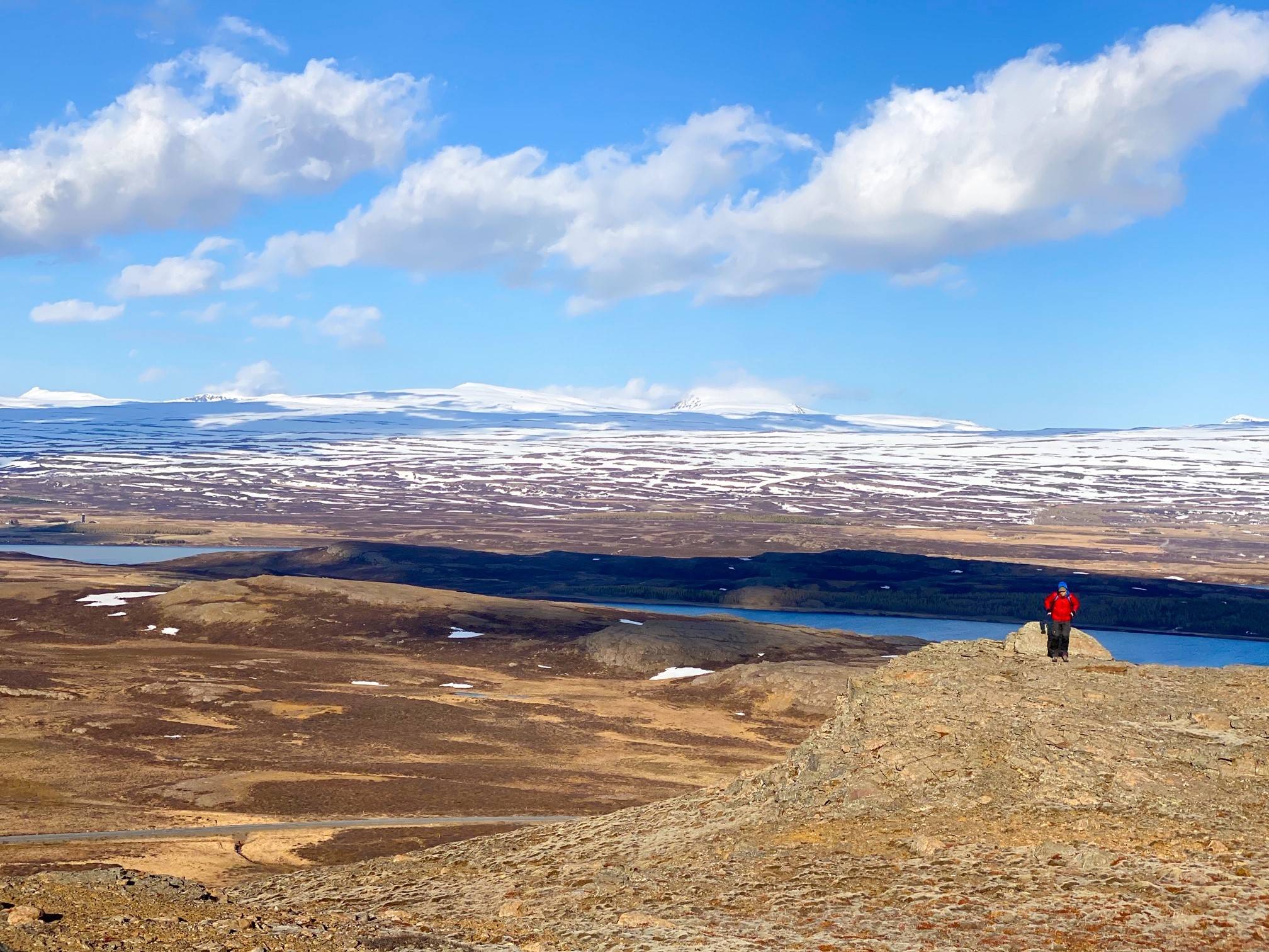
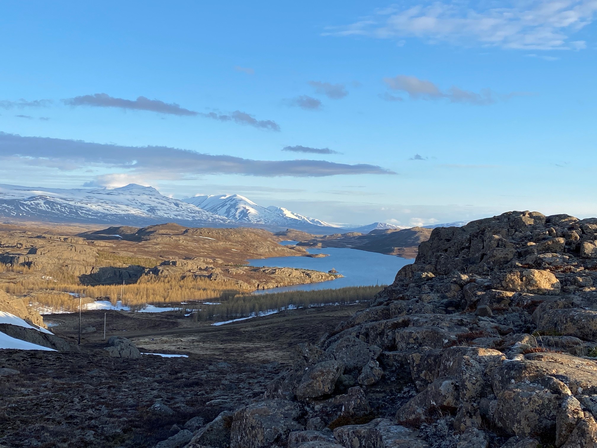
Hrafnafell is one of Egilsstaðir’s Pearls, which refers to 30 stunning hiking trails in the region surrounding Egilsstaðir.
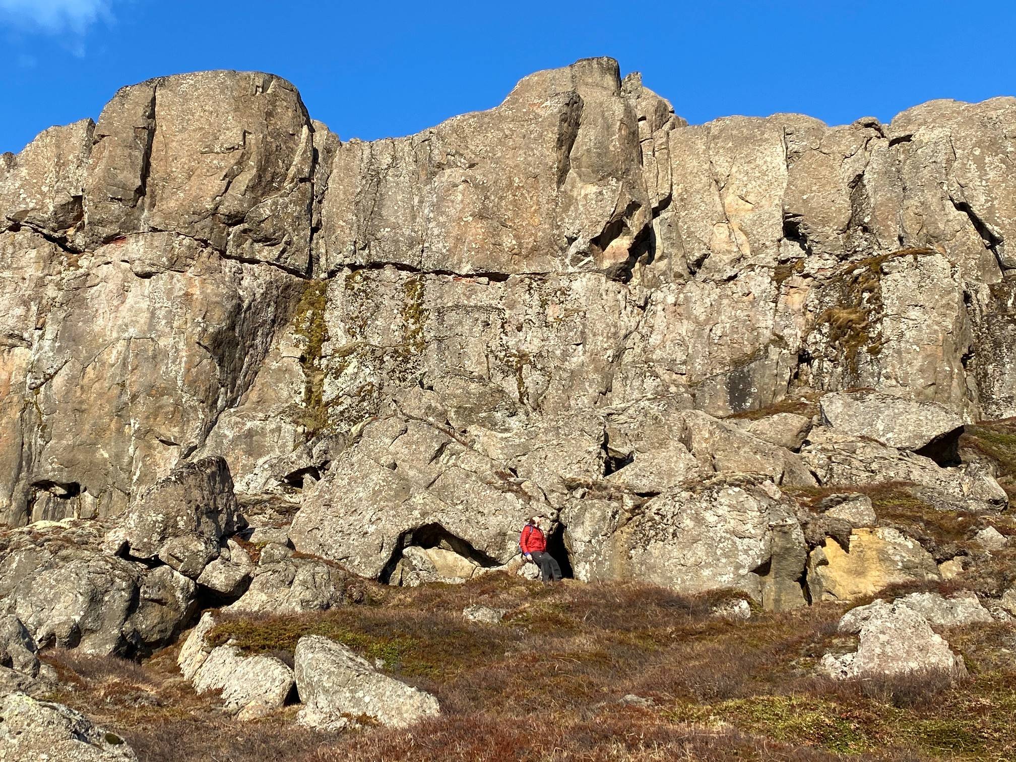
Drive the gravel road up to Fjallssel farm and to the highest spot south-west of Hafrafell. Walk from the road towards the antennas on Hrafnafellwhere you can find the cylinder with the visitors’ log and stamp.
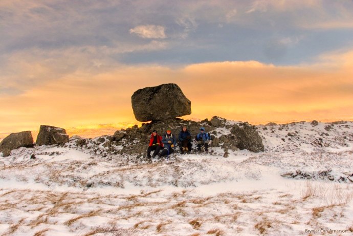
Do walk on to Hafrafellsrétt livestock pen (N65°18.02-W14°29.23) which is man-made of rocks and stones, between cliffs slightly to the east of the trail. It is also very nice to descend east of Hrafnafell and see Kvíahellir cave (N65°18,359-W14°29,063).
ADDITIONAL INFO
Tel: 4700750
Email: info@visitegilsstadir.is
